This website uses cookies so that we can provide you with the best user experience possible. Cookie information is stored in your browser and performs functions such as recognising you when you return to our website and helping our team to understand which sections of the website you find most interesting and useful.
Storm Kathleen to hit UK and Ireland
04/04/2024

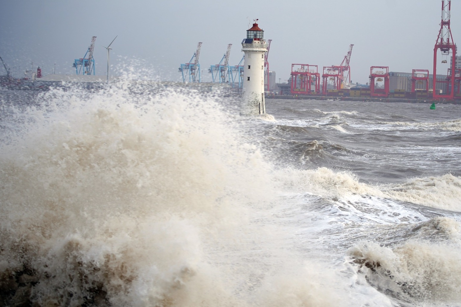
Rain and wind weather warnings have been issued with much of the UK and Ireland set to be hit by Storm Kathleen.
Blustery conditions are set to arrive on Friday as the storm, named by the Met Eireann, the Irish Meteorological Service, rolls in.
Gusts of 50mph are “expected quite widely” on Saturday, while some exposed areas, particularly on the coast, will see 60 to 70mph gusts with large waves also likely, the Met Office said.
Kathleen will be the 11th named storm of the 2023/24 season, and becomes only the second to reach the letter K, after Storm Katie in March 2016.
Saturday will experience “unseasonably wet and windy” conditions, including heavy rain across parts of Scotland and potential outbreaks across western parts and North East England, Met Office meteorologist Alex Burkill said.
However, temperatures will be mild, despite the wind and rain, he added: “There is a good chance we could see highs of 20C which would be the first time we have seen 20C this year.”
Travel disruption is possible as heavy downpours are expected across central Scotland, with a Met Office yellow weather warning for rain running from Friday between 2am-9am.
The warning, covering the central, Tayside & Fife, south-west Scotland, Lothian Borders and Strathclyde areas, says there is likely to be “15-25mm of rain, much of this falling in around six hours with a few locations seeing up to 35mm overnight”.
A yellow warning for snow is in place on Friday from the early hours through to 9am covering central, Tayside & Fife, Grampian, Highlands & Eilean Siar and Strathclyde, with downfalls particularly expected over higher ground.
There could be snow accumulations of 10cm or more in places above 300 metres but “2-5 cm of snow is expected fairly widely above 250 metres, with a chance that a few places within the warning area at lower levels could see a few centimetres settle.”
The forecaster has issued a yellow weather warning for wind with a deep area of low pressure in western areas, including parts of Scotland and Wales, and the north-west and south-west of England from 8am to 10pm on Saturday.
The Environment Agency has 12 flood warnings and 93 flood alerts in place in England on Thursday morning, largely in southern areas.
Looking ahead at the next 10 days, Mr Burkill said: “There will be some wet weather around, could be quite heavy at times, but there are also some signs of something a little bit drier coming up later on.
“For the time being though, low pressure in control as we go through the next few days, various areas of low pressure pushing their way across, bringing spells of wet weather and some blustery conditions too.
“As we head towards Friday though, we have an area of low pressure pushing towards us and this feature has actually been named Storm Olivia by the Portuguese met service. It is going to bring some blustery, showery weather across parts of the UK.”
He added: “Now it’s pretty unusual for us to get an area of low pressure as deep as this so close to the UK during this time of year at this stage of April.
“So it is going to be unseasonably windy and there will be some heavy rain around at times particularly across northern and western parts.
“But worth noting that across parts of the South East actually we’re not going to see a huge amount of rain on Saturday and we’re going to drag in some very warm air.”
RAC breakdown spokesman Rod Dennis urged drivers to slow down, keep a firm grip on the steering wheel and be prepared for a buffeting effect if overtaking high-sided vehicles, adding: “This intense period of stormy weather is going to prove extremely challenging for anyone driving on the western side of the UK.
“We strongly urge drivers to avoid exposed coasts and higher routes where the impact of the very strong winds is most likely to be felt.”
England saw a record amount of rainfall in the 18 months to March.
Figures released this week showed that 1,695.9mm of rain fell from October 2022 to March 2024 beating the previous record of 1,680.2mm, which had been set only the month before and covered the 18 months from September 2022 to February 2024.
This is the highest level for any 18-month period in England since comparable data began in 1836, according to analysis by the PA news agency of Met Office provisional statistics.
Published: by Radio NewsHub


